Possible rain, lower temps later this week
Published 10:58 am Tuesday, July 16, 2024
After a blazing hot day today, Lafayette County and the surrounding area could see some relief after predicted showers and thunderstorms roll into the area Wednesday.
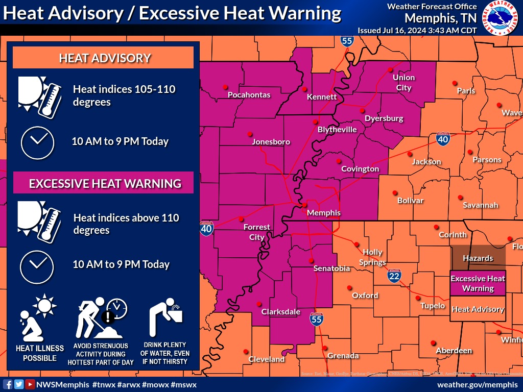
Until then, Lafayette County is under a Heat Advisory from the National Weather Service in Memphis until 9 p.m. tonight.
The high for today is expected to be 95 degrees; however, mixed with 70% humidity, the heat index value could rise to 107 degrees this afternoon. There is a 20% percent of some isolated showers after 4 p.m.
Trending
On Wednesday, the chance of rain increases as a weak cold front moves into the area. Showers and thunderstorms are possible in the afternoon but the chance of rain and storms will increase into the evening hours with a 70% for showers Wednesday night.
The high expected on Wednesday is 93 degrees, which should drop to 83 degrees on Thursday when more rain is expected, according to the NWS.
There is an 80% of showers and thunderstorms on Thursday that should taper off toward the evening hours. The low for Thursday is expected to be 67 degrees.
There is a 30% chance of more rain on Friday and Saturday with the highs around 85-97 degrees.
The chance for rain increases on Sunday to 50% with a high near 87.
Trending


-
-
-
Polls
 Loading ...